

Tiny Tip Tuesday
Cemeteries, Tombstones and Memorials, oh, my!


Hi, Rootsquad geneafriends!
I spent a good amount of last week traipsing around cemeteries, looking for relatives. I was revisting some places I had been about ahem 30+ years ago, and a few things have changed!
From some lessons I learned on this research trip, I’ve decided to craft a new series of posts called, “Tiny Tip Tuesday”. Hopefully, my mistakes will help some of you out there in ResearchLand.
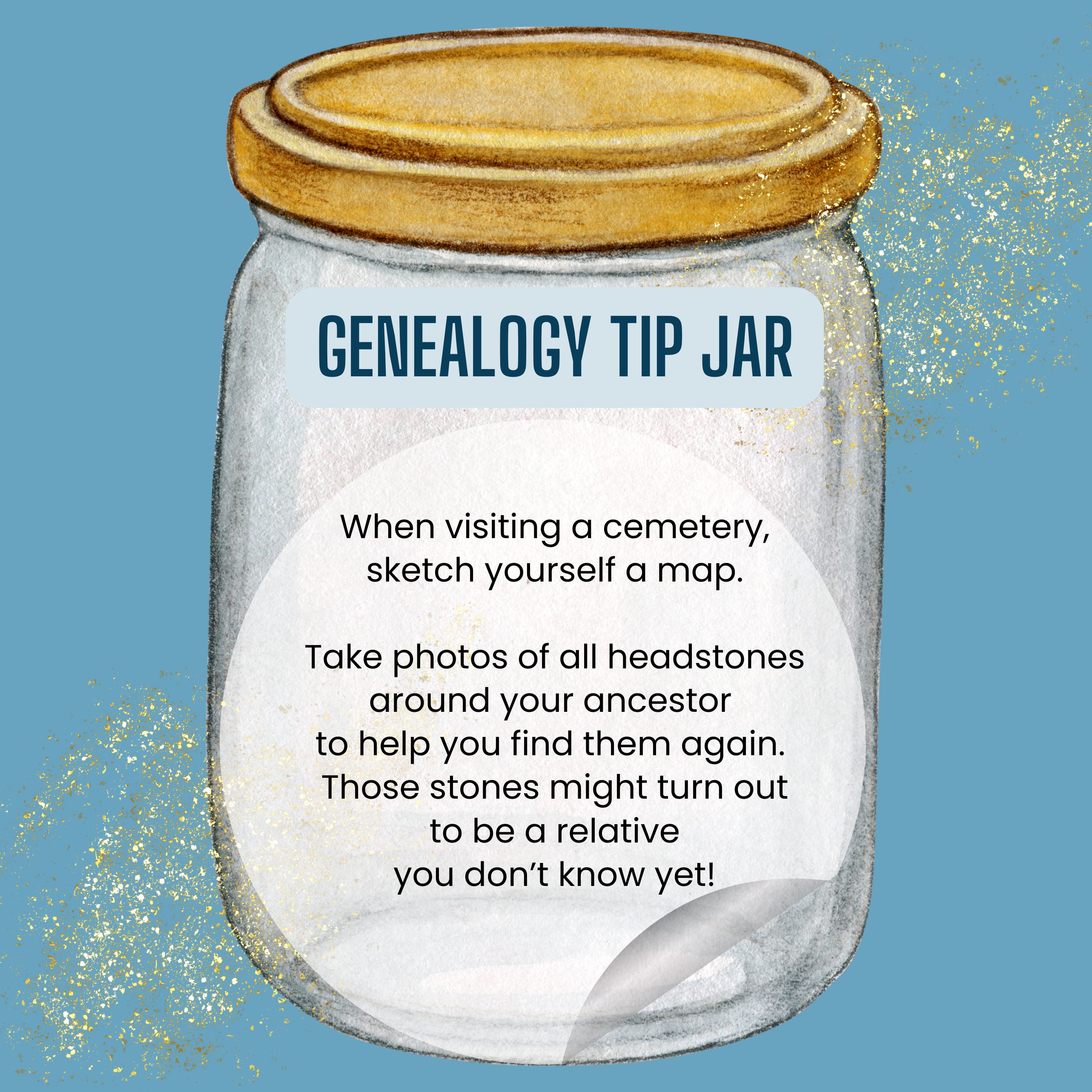
And let me encourage you to think about this: Are there cemetery or gravesite locations that you need to sketch a map of today? Are you the only person who remembers those locations?
Or perhaps you have a loved one whose final resting place is non-traditional, have you documented that and the memorials you have given them?
Please take some time today to write those memories down. Attach to Find-a-Grave, FamilySearch Tree, WikiTree or your own website, blog or Substack. Join me in documenting for the future.
Have fun roundin’ up your ancestors!
I try to take grave photos with easily identifiable elements in the background when I can https://gunnarmiller.substack.com/p/were-all-related .
Find A Grave is a phenomenal resource, and if you tap on "show map" the coordinates pop right up https://www.findagrave.com/memorial/47632011/george-miller .
That said, most phones record EXIF location data in photos automatically, so if you photograph the stone, the location is already embedded in the file. If you're ambitious, using those would let you build a very tidy overlay on something like Google My Maps or even a KML (Keyhole Markup Language, essentially an XML-based file that stores coordinates, place names, descriptions, and visual markers) file tied to your genealogical records.
I visited a cemetery 50+ years ago and the next time I visited, the markers were gone (30 years later?), only the base was left standing. I haven't found the original photos yet that I'm pretty sure we took.